


-
-
Home
-
- About Upazilla
- Upazila Parishad
- Administration
- Municipality
-
Government Offices
About Human Resources Development
-
□ Upazila Social Services Office
-
□ Upazila Women Affairs Officer\'s Office
-
□Upazila youth development officer\'s office
-
Cooperative Office
-
Upazila Rural Development Office
-
□ National Women Organization
-
□One House One Farm Project
-
□ Upazila Information Center
-
Small Farmer Development Foundation, Upazila Office
-
Polli Darido Bimochon Foundation (Pdbf)
-
□ Upazila Social Services Office
- Other organizations
- e-Services
- Photogallery
-
-
Home
-
-
About Upazilla
Upazilla Introduction
History-Tradition
Geographical and Economic
Public representatives
-
Upazila Parishad
Upzzila Porishod
Chairman office
Upazila Parishad activities information
-
Administration
Upazilla Nirbahi Officer
Office of the UNO
Important information
- Municipality
-
Government Offices
Land affairs
Agriculture and food related
About Human Resources Development
- □ Upazila Social Services Office
- □ Upazila Women Affairs Officer\'s Office
- □Upazila youth development officer\'s office
- Cooperative Office
- Upazila Rural Development Office
- □ National Women Organization
- □One House One Farm Project
- □ Upazila Information Center
- Small Farmer Development Foundation, Upazila Office
- Polli Darido Bimochon Foundation (Pdbf)
Education related
Engineering and communication
Other offices
-
Other organizations
Educational Institution
Private companies
Religious Institution
Projects
-
e-Services
National e-service
Mobile App
Union Information and Services Center
-
Photogallery
Photo Gallery
Video Gallery
Welcome everyone to the web portal of Bheramara upazila. Bheramara Upazila is located 23 kilometers northwest of Kushtia district headquarters. Total area of the upazila is 153.72 sq km. This upazila consists of one municipality and 6 union parishads. Padma river in the north east, Mirpur upazila on the east, Daulatpur upazila on the west and kushtia sadar upazila on the east.
No specific history of the name of this upazila is known. However, according to the face of the people it is known that in the past, there were grazing land in the area due to pasture land, lots of sheep were observed. Whose tradition is in the present. Probably the name of Bheramara has been named from Bherapalan.
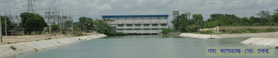
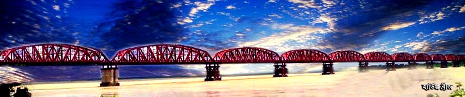
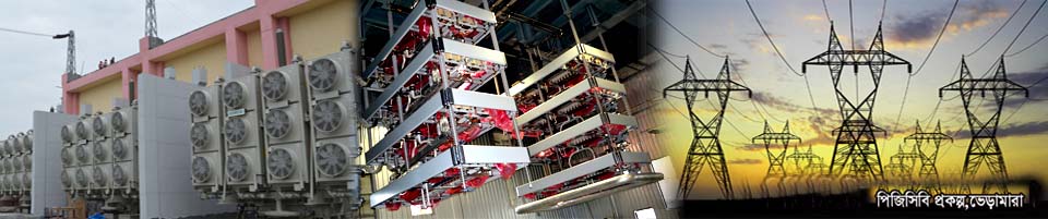
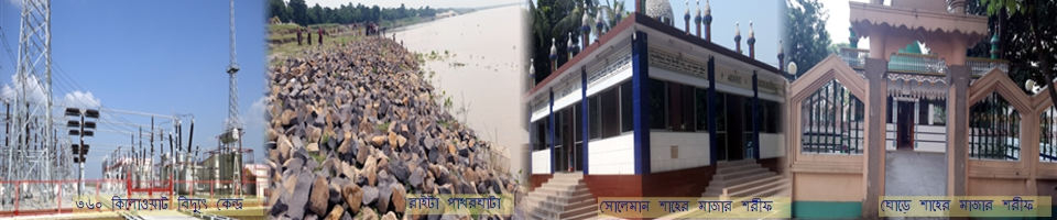
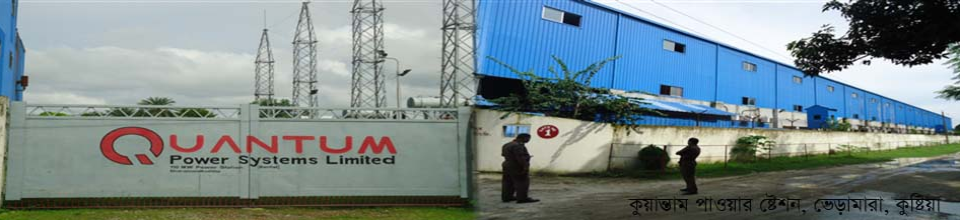
There are several important structures in this upazila. Among them, the Ganga Kobadak Irrigation Project (GKProject) is one of the best. This project was started during the Pakistani period. Through this project irrigation is provided in the Kharif season of greater Jessore and Kushtia districts ie Roopa Aman season. There is a power plant of 60 MW in this upazila, through which electricity demand in the southwest region is being increased. This bridge has a bridge named Lalon Shah Bridge. Whose length is 1.8 km Through this bridge, direct road link between the north and southwestern regions of the country has been established. This has resulted in the expansion of trade in the region. People of this area are very popular and social.
After joining this upazila, I have been working relentlessly for the welfare of the people of the all-round area. I wish everyone's cooperation.


Planning and Implementation: Cabinet Division, A2I, BCC, DoICT and BASIS
Technical Assistance:
![]()
Developed By:
